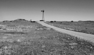
 Windmill, Pawnee National Grassland, northeast Colorado
Sunday, April 16, 2006 -- Easter Sunday
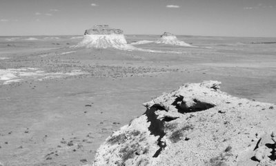
We had planned to go to Arches and Canyonlands National Parks for the weekend, but Li was not feeling well late Friday afternoon so we decided not to go. But, by Sunday, though still a bit weak, I coaxed Li out the door for a day trip to see the Pawnee Buttes. We did some walking and wandering around but it was primarily a “windshield” tour.
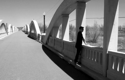
We took I76 northeast up to Fort Morgan, CO. With a quick cruise around town we soon discovered the “Rainbow Bridge” on the northern edge of town on state route 52. The sign indicated that is was built in the late 1920’s and was a fusion of 19th and 20th century building technologies.
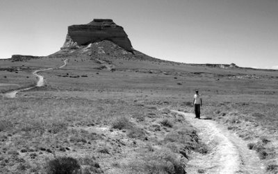
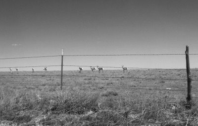
We then continued north onto dirt roads in and around Pawnee National Grassland. The distances are surprisingly long but the road, though dusty, was in good shape and made the going pretty easy. The Buttes loomed large out in front of us for a long time as we rolled along and debated just how many miles away they were. In the end, they were much further away than we thought.
After having a look around at the Buttes, we then went to Greeley via state route 14. It is apparently one of the fastest growing cities in the country and we found a nice Mexican restaurant right on the main drag through town and stopped and had dinner. After margaritas, burritos, and fish fillets we headed back south to Denver via US 85.
2 comments:
Cool photos, guys. Are you a professional fotographer?
I am. George is an amateur though. I took most of the pictures. - Li
Post a Comment