Monday, September 11, 2006

New England revisited (III) - along I-95

Few places we stopped along the trip:

PORTLAND
It has a nice downtown with brick roads and familiar smell of sea. We stopped and dined at a nice porch along the sea at a local restaurant "J's oyster". The food is not good and the service is very slow. I had the worst lobster roll there, which reminded me the delicious lobster rolls at Cape Cod in the year 2003. The coast along the water is nice - some scenes look like mid-south part of China.
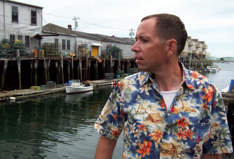
The coast of Portland

OGUNQUIT
Small P-town. We arrived in the evening. The small downtown is crowded with people. There are several gay bars and we stopped at "The Front Porch". Nice but very crowded bar with live piano playing.

PORTSMOUTH
The town was built in 1762 - probably one of the oldest town I have ever been in the U.S. It has several bridges, old iron style with part of it being able to be lifted up for boats to pass by, as well as modern hanging bridge. It was Sunday afternoon, people were hanging out everywhere. We walked around Strawberry Banke where a lot of old houses still exist. It is a cozy town of New hamshire.
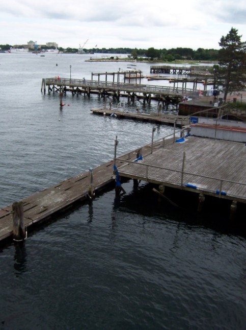

Piers at the waterfront
Sunday, September 10, 2006

New England revisited (II) - Acadia National Park

"Acadia was never overwhelming", with the voice of Jack Perkins coming up in the introductory video of Acadia National Park, I already sensed it was going to be an unique trip.

In spite of being the first National Park east of Mississippi River, Acadia is not as popular as places like Niagra Falls. "In it heart, it offers solitude"Jack Perkins said. I guess that's what Maine is. The Taiwanese journalist San Mao once talked with her friends about where in the USA she can stay. She said, " Only Maine, cold and deserted, is just where we belong to". The lonely woman, she has been so many places, but finally couldn't bear with her life and commited suicide with her socks. It was showering when we visited - just fit the mood that the park offers.


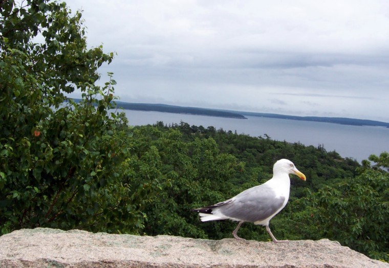
A lonely bird

In the visitor center, the ranger recommened several hiking trails. Both Precipice trail and Beehive trail attracted us since they are "not recommended for small chidren - trail brochure". They both have iron rungs on ledges of exposed cliffs. Precipice trail was closed, however, during that time due to possible attack from agressive birds. George visited the park in 2000 after being impressed by the introductory video shown by his advisor Richard in his class. He enjoyed moutain bikings in the park but never got a chance for hiking. Therefore, we were aiming for the Beehive trail.

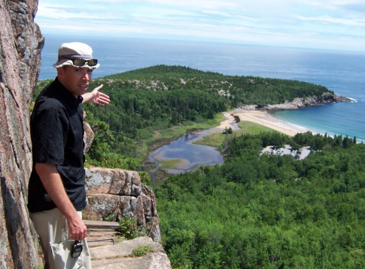
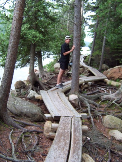
It starts with an easy trail - but soon, we had to use both hands and feet to climb on the steep iron rungs. It looks so steep and dangerous that one moment I was thinking maybe we should go back. There is really no way to go back - all the iron rungs were designed for climbing up only. We encouraged and helped each other - and at some points we even took pictures! Finally, standing at the top of the mountain, nothing could really describe our pleasure and joy.


A view from the trail

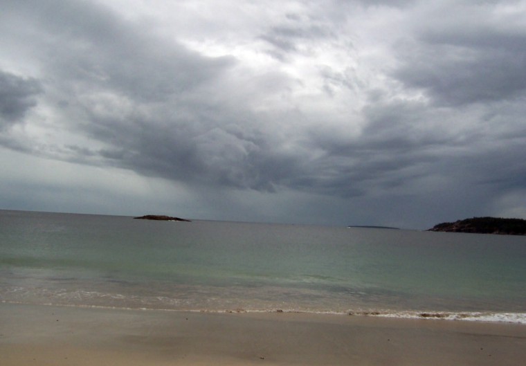
Beehive trail is very close to Sand Beach. Sweaty and tired, we both wanted a refreshing. The Sand Beach is only sea water beach in the park, with highest temperature only at 50s. We stepped in the cold water, with foot in freezing pain. I couldn't stand it and stepped back for a while and George had the guts staying in. After accumulating some energies, I stepped in again and swimed in high waves. It was like a refreshing cold coke runing through all my blood vessels - COOL!


Sand Beach

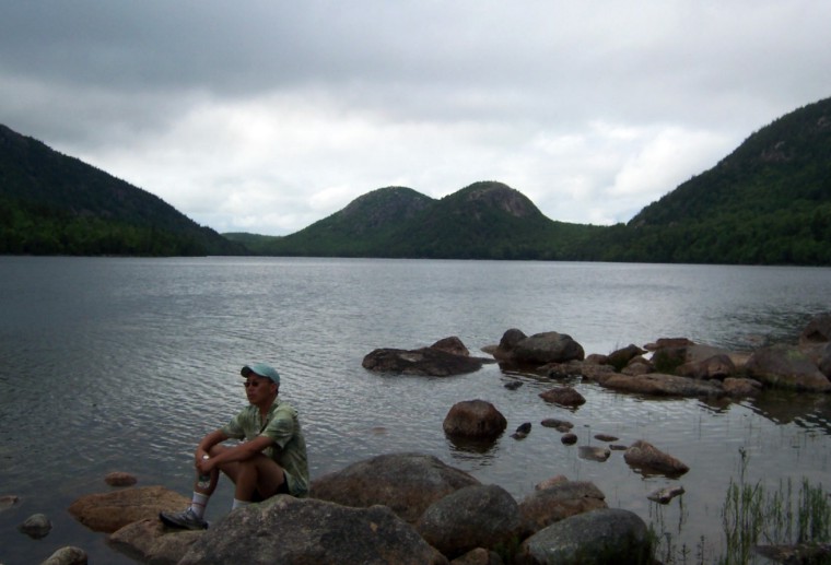
After Beehive and "Atlantic bath", we felt that we experienced so much joy and gained much more curiosity about this park. We finally stopped at Jordan Pond and took a hike along the shore. It was close to evening and still cloudy. The pond, the hills, the cloud, how nostalgia!


A man enjoying his solitude


Jordan Pond shore trail

Next day, we went to Bar Harbor and rented two bikes. The moutain biking trails in the park are one of very unique features. No cars, no traffic lights, miles and miles up and down. We biked through Eagle lake and Jordan Pond, finally got to bike up to the top of Day Mountain. It was windy at the top of the mountain, that reminds me the woman who lives at the top of an island in Maine. She was the lover of Louis Kahn, a famous architect, who deserted her after deserting his wife before her. She still believed that he loves her. It was similarly windy when Nathaniel Kahn, Louis's son, interviewed her around her house in the documentary film <my architect>. She looked pale and lonely.

Wednesday, September 06, 2006

New England revisited (I)

July 13-20th, 2006

This summer has been successful for us. George got his dissertation well written and defended on July 14th. Several days later, while at Vermont Academy, in Saxtons River, for a science conference, I was notified that my green card application was finally approved. Both happened in just one week - like people say "when it rains, it pours".
Vermont was surprisingly hot in July. We stayed in a room with no AC, no private bathroom, no telephone, no TV, no cell phone signal and no full-size bed. Only a fan was running all the time. Although quite different, it was not bad at all. No matter what, it is New England!
Early afternoon was free for conference attendees. We took a few trips to swim in West River, Saxtons River and Spofford Lake where George used to swim when he studied in NH. On Saturday night we took a drive along Route 5 to look for a gay club George visited a long time ago to the north of Brattleboro. It was not there anymore, instead, we found it has been remodeled and now is a country club. We stayed for few hours listening to a local band playing. I found it quite interesting in that it did not look too much different from a gay club, except that people there really didn't know how to dance!

There are many historic towns around that area. East of Saxtons River is a small town called Bellows Falls. Unable to find any bars in Saxtons River, we discovered a Cafe at Bellows Falls on late Tuesday night. In the Cafe, there were only a rude mid-western looking guy and a weird lady, who apparently were drinking too much. We didn't stay long. The Long Trail draft is good, I must say.

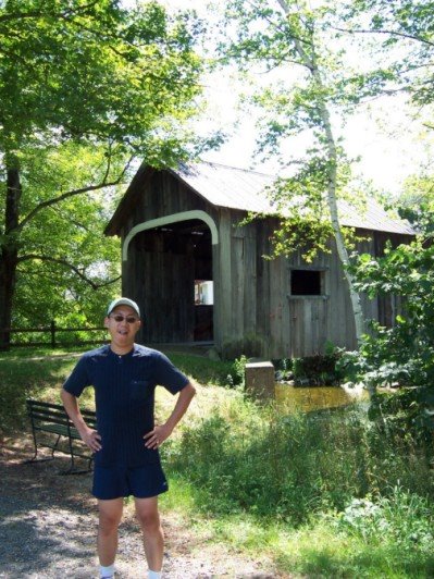
West of Saxtons River is a very old town Grafton. We took a few hiking trails - the beautiful New England hiking trails! We didn't forget, however, to buy some famous Grafton 4-year chedar cheese. Very yummy!

Covered bridge at town of Grafton

Monday, July 03, 2006

3 days, 3 national parks

May 26th - 29th 2006

Knowing we are going to be busy this summer, we decided to make as many trips as we can before summer comes. Memorial day weekend, of course, is a good time to travel, and to memorialize somebody: your teacher, your family, or all the innocent people who suffer from war, famine and diseases. Pick one (or more) and keep an awareness of it in your conscience.

During the trip we made in Canyonland national park, I was going over all the national park maps and surprisingly found that there is one national park in Colorado we've never been - Black canyon of the gunnison. It is just a bit south of Grand junction!

There is another national park in Colorado, that we wanted to go but never went. That is Merse Verde national park, which locates at the southwestern colorado. With a geographer aside, it is fairly easy to plan a trip: Go west to Grand juction, then south to Black canyon, keep going south to Merse Verde, then east to Great sandune, which we haven't been after it was promoted as National Park and Preserve, then all the way north back to Denver. Oops, 3 days, 3 national parks!

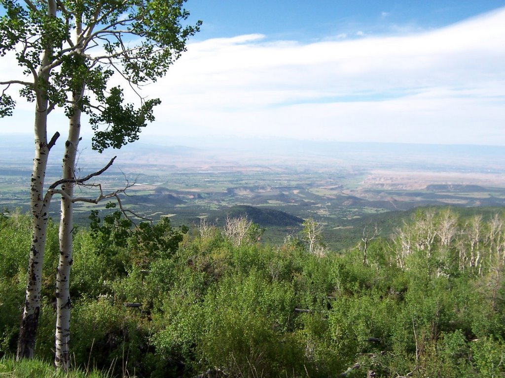
After a nice camp east of Grand junction, we started to head south through CO65 skyway. In spite of expectations and wonders about how Black canyon looks like, we soon were distracted and impressed by the beautiful landscape through 65 skyway. With white trunks and green leaves of aspen trees, snow mountains and clear lakes, sunny valley embedded in colorful plant carpets, we were so surprised and regret that we have camped at the north of 65 skyway so many times, but never bothered driving south until today!


CO 65 skyway, south of Grand Junction

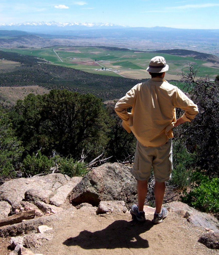
The most striking feature of Black canyon is the steepness - after we got out of visiting center and turn onto a path towards a outlook site, we were already at the top of a cliff, the river is running right under our feet – but one mile straight down. We took a drive down to the canyon river and took a walk at that peaceful place. After climbing up the canyon, we drove the other side of canyon and took a hike at the end of the cliff. Although we prepared 7 gallons of water, we could barely stand the hot weather, which became more unbearable with the look of snow mountain.


Outlooking spot at the end of black canyon

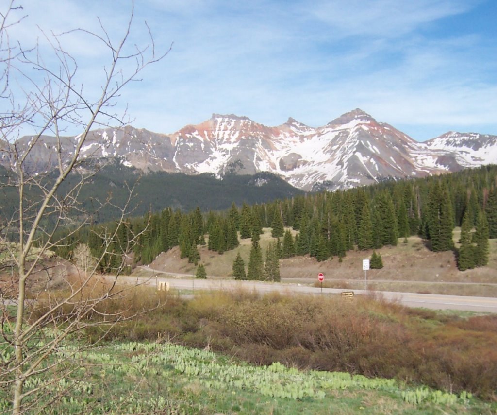
The road from Black canyon to Merse Verde is winding through high snow mountains. After going over all these dramatic landscapes on CO65 and Black canyon, we already appreciated so much and didn't anticipate anything more. Waking up from a quick nap while Geo is driving, I, again, was impressed how pretty it is along snow mountains. Unknown yellow flowers built up a thin layer of yellow carpet on the top of green grass, with white snow on red mountain. Colorado, you are Colorful!


CO 145 highway from Black canyon to Merse Verde


In the evening, we arrived Cortez, a historic town at 4-corner area. We booked a hotel room at Super 8 before the trip - which turned out to be a good idea since all hotels were full. Next day, we woke up early and headed to Merse Verde, 10 miles east of Cortez.

It was crowded, as expected, with full booked hotels, and unexpected, with our experience of nowhere is crowded in U.S. national sites based on our previous experiences. At the visitor center, a surprisingly international crowd is waiting in line to buy extra tickets (besides ticket to enter) for few famous Native Indian dwelling place. It was cold and windy, even with a jacket on, I was still shivering and shrinking together with most of other people in line. Without extra notice, a tall guy attracts my notice. With only a T-shirt on he stands straight up, with a complexed look upon rest of us, obviously saying "you wimps, the coldness is nothing! Look at me! I am so tough!"

It has been 100 years since Merse Verde has been a national park. To celebrate this event, Merse Verde invited Laura Bush to give a speech. She did, a month ago, not forgeting to mention how current administration cares about the environment.

HOW DARE SHE?

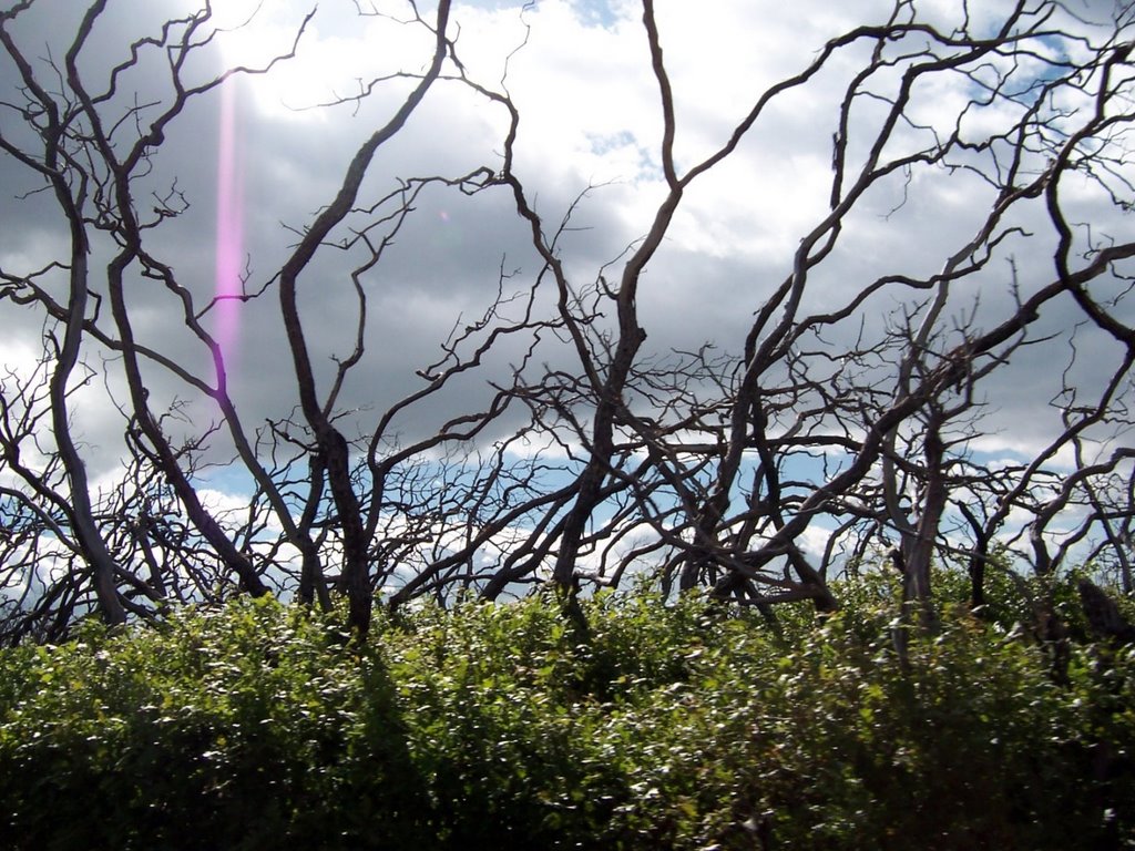
The park is big. It suffered from several major fires last and this century, which left unforgettable scars everywhere.


The marks of fire at Merse Verde

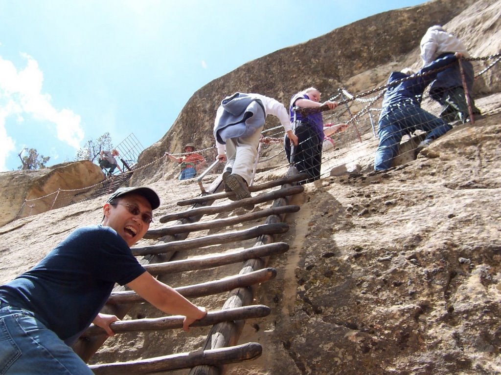
We bought tickets for Balcony house and Cliff Palace and took a drive all the way to Balcony house. With a professional guide, about 50 tourists including us started a journey with a 32-feet wood ladder (slippery!), a 12-feet long tunnel (narrow!) and additional 60-feet ladder and stone steps (STEEP!).


Steep ladder at Balcony house, with the guide looking down from the top

Leaving Merse Verde, we started to drive east, passing Durango, to Alamosa, from where the Great sandunes Nation Park and Preserve is located 20 miles away. We had been to this place 2 years ago in Autumn, when it was a National Monument. It was late when we were at Alamosa and we didn't book any hotel rooms. We decided to take a risk and drive directly to the park to camp there - there are only around 50 camp sites in the park and it was Memorial weekend.

I can't tell now how happy I was when we finally found a campsite - we were both tired and really don't want to drive back to Alamosa for a hotel. Plus, who knows if there is a hotel room available!


Next day, we stepped in the visitor center

and watched a not-so-good introduction
video about the national park. Then we
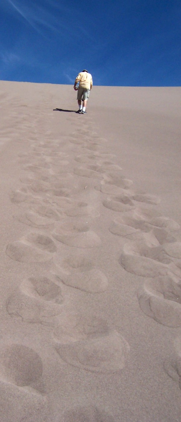
decided to climb to the top of the sandune,
which we didn't do last time we were there.
It was hard, under the heated sun, with
hot sand in the shoes. We both made it to
the top -where we had a great view of
moutains with little white snow, blue sky,
brown sands and green trees along the
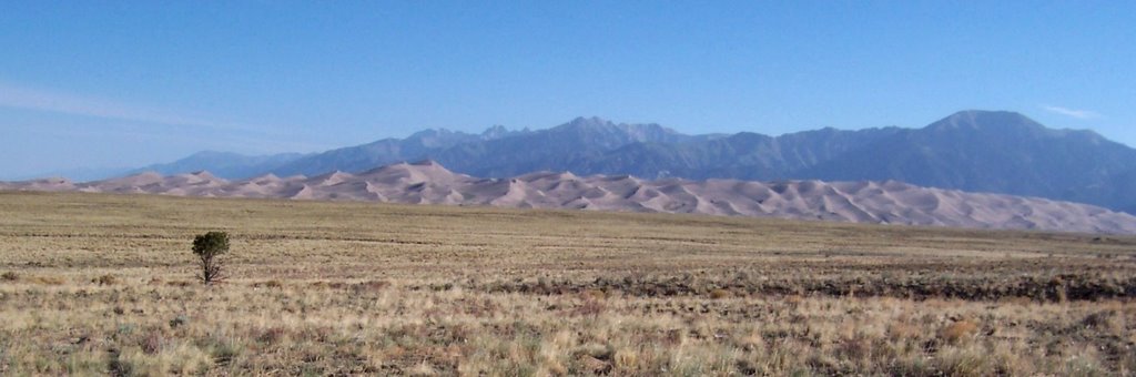
river. There were many wild sunflowers
blossoming on our last visit. Unfortunately,
it was summer and no sunflowers.

Outside the Great sandune, there was a
lonely tree standing last time we visited.
It was still standing there, with a great
silence, just like most of people in this
world.


Tuesday, June 20, 2006

Movie talk 1

Having been in Denver for 2 years, we are impressed by a lot of things here. One of them is Denver library system. One can order a book or DVD on line (as long as any library in Denver has it) and the library workers will deliver the DVD you ordered to the closest site for you to pick up. By doing this, we have got a great deal of opportunities to watch DVDs for FREE. Especially, the library system has a good selection of international DVDs - that absolutely benefits us more.

Having seen few hundreds DVDs from Denver library, finally we decide to have a list for the movies that moved and inspired us last two years. The movie talk is going to be something that records our feelings about the movie.

Here is the list:

Mamma roma

Arabian nights

400 blows

French connection

The last picture show

Brief encounter

Happy together

Brokeback mountain

Mississippi burning

The wild reeds

The third man

Last emperor

Sheltering the sky

City of god

Dr. Strangelove

The chef, the thief, his wife, and her lover

Lost highway

Blue velvet

Dogville

The ballad of narayama

Donnie Darko

Talk radio

One flew over the cuckoo's nest

Documentary films

Darwin’s nightmare

Delamu

Berkeley in the 60s

Times of Harvey milk

Promises


Sunday, June 18, 2006

Eastern Utah May 2006

Canyonlands National Park & Colorado National Monument
May 19-21 2006


With the high price of gas these past couple years (thanks George and Dick) and the long driving distances in the U.S. west, we have taken to the occasional overnight of “wild” camping. With the low population and wide open spaces it works out great. It also takes me back to my adventure across West Africa in 2000 where I slept out in the countryside, on the roof of the Land Rover, much of the time.


Riverside camping, near Grand Junction, CO.


Our current favorite is just off of I 70 about 200 miles west of Denver at exit 49. It makes a good stopover point on Friday night when heading west for a weekend trip. We can work all day, grab some dinner and our gear and then drive out there and arrive before midnight. The gurgling river current makes for good sleeping and in the morning the surroundings always seem more impressive than we had remembered from the previous visit.

Heading west out of Denver we have found that it is better to take US 6 rather than I 70. It skirts around downtown Golden, CO and then reconnects to I 70 at exit 244. This route is shorter and avoids much steeper grades and the SUV crowd (of often overly aggressive drivers.)


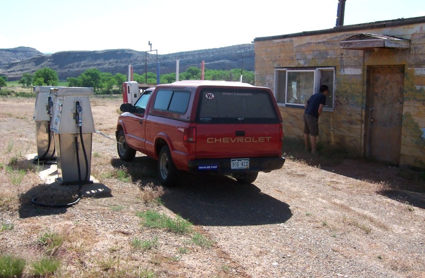
Former gas station, along highway 128 northeast of Moab, UT.

There’s two highways that head south from I 70 to Moab. We decided to take 128. Its the smaller of the two; we exited at number 202. This route winds along the Colorado River and offers great views and numerous camp sites (maintained by Federal agencies) and pull-off spots. It is a wonderfully deserted drive.


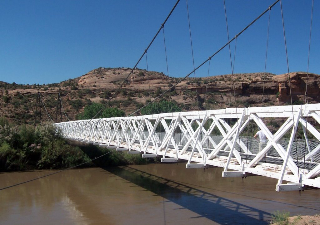
The Dewey Bridge, along highway 128 northeast of Moab, UT.

According to the historical signage, this suspension bridge is over a hundred years old and was the only way to cross the river at this point until well into the 1980’s. The bridge is barely wide enough to accommodate the width of one vehicle. Now it is strictly a pedestrian bridge and point of "interest."


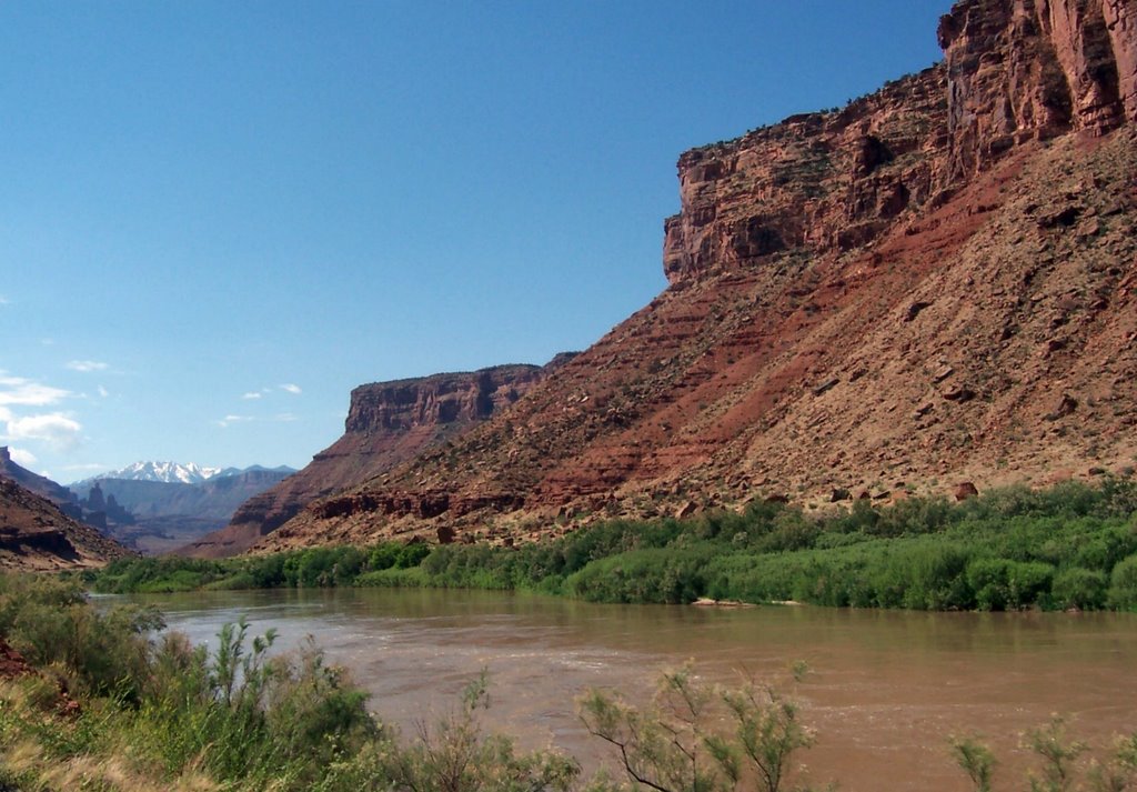
Colorado River, along highway 128 northeast of Moab, UT.


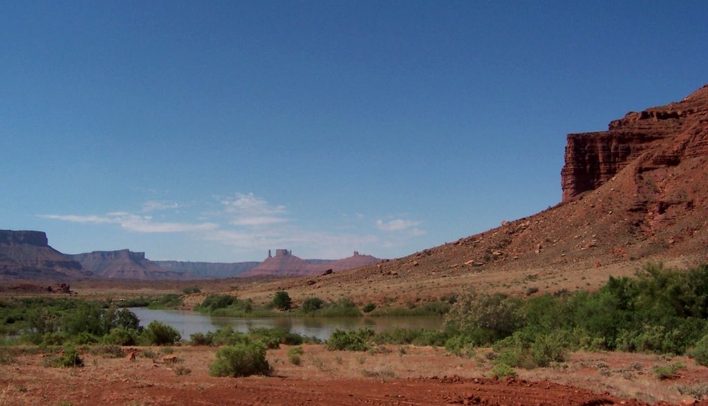
Colorado River, along highway 128 northeast of Moab, UT.

The color contrasts along the drive are striking: the red stone cliffs, the brilliant blue sky, the lush green vegetation along the river, and the snowy white mountain peaks in the distance.


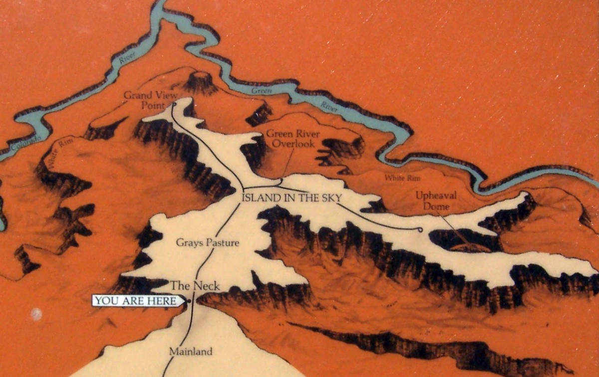
“Island in the sky,” at Canyonlands National Park, Moab, UT.

The focus of a park visit is the series of high lookouts from the “island” in the sky. Note that this high mesa is only accessible by passing onto it at “the neck”; otherwise its sheer cliffs all around. Li likes to call it “Canyon Island”.


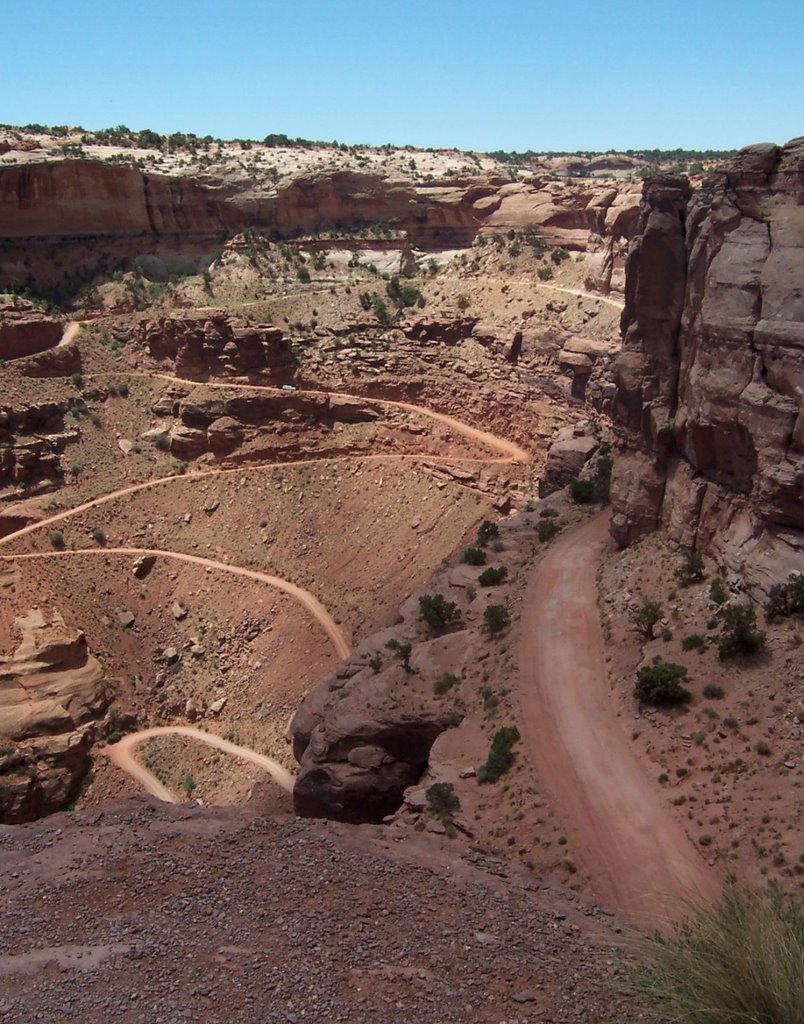
Steep grades, at Canyonlands National Park, Moab, UT.

This road was constructed in the 1950’s to extract uranium ore. Now that this land is protected the road is part of a hundred mile driving circuit that is possible with a four wheel drive vehicle and several days of adventure.


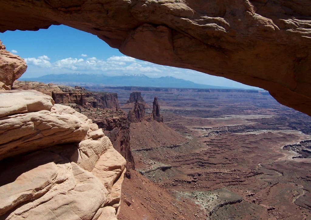
“The arch,” at Canyonlands National Park, Moab, UT.

Although much less known than its nearby neighbor, Arches National Park, Canyonlands also has this wonderful stone arch. Because of it high location, it frames the valley and snow peaks beyond in a very different fashion than those at Arches.


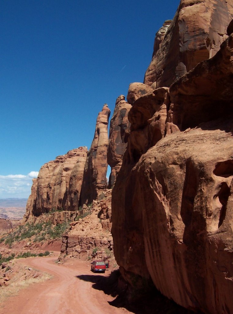
“The short cut to Moab,” near Canyonlands National Park, Moab, UT.

Looking to return to Moab by a different route than that we had taken in the morning, we noticed a “four wheel drive” road marked on the map. It also appeared to be a short cut. We inquired about the road conditions on the route at the nearby State Park, the money collector said, “oh yeah, its fine in a two wheel drive, I drive down it all the time. There is one bad place where you can straddle the rocks or else try to go around to one side. It’s all downhill, so you know that you will make it…”

Although basically true, we found that his recommendation was greatly understated.


Falling cliffs, near Canyonlands National Park, Moab, UT.

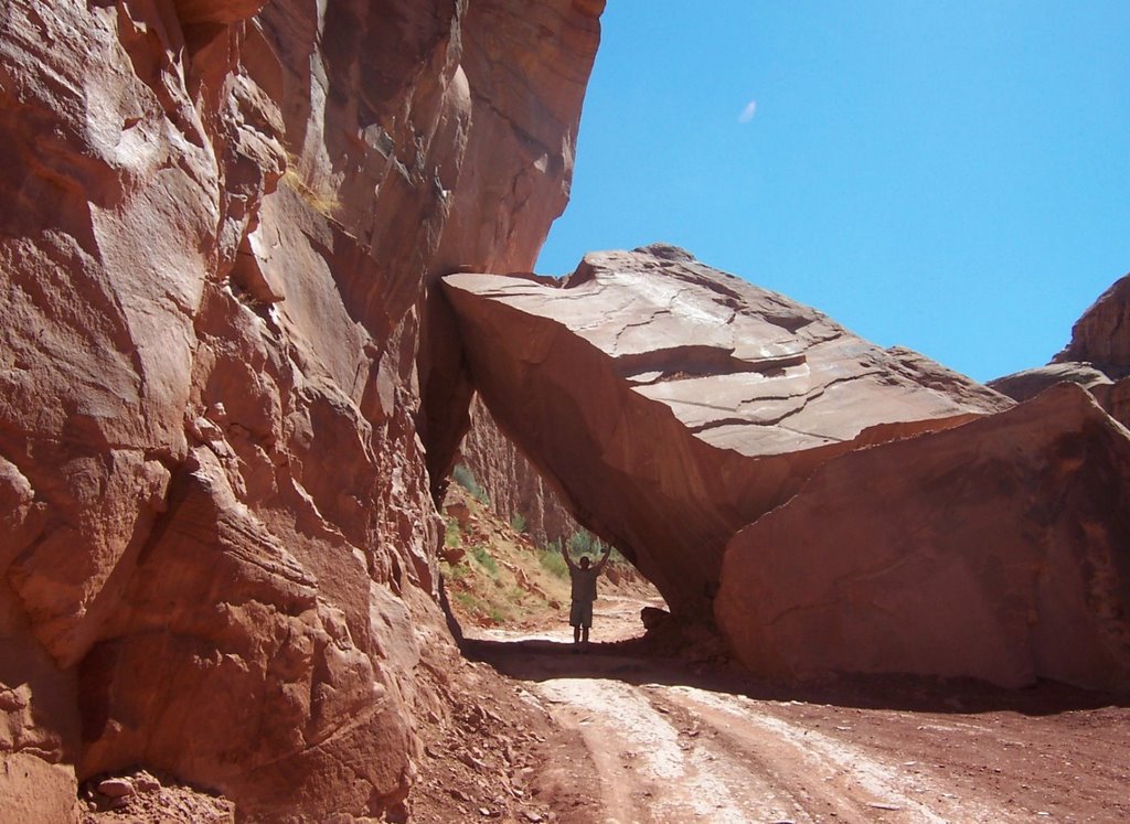
At the “bad place” he was talking about we were careening just shy of being absolutely out of control on the extremely steep, rocky and loose surface. As we approached this huge fallen rock we were completely unable to stop and it was not at all clear that we would be able to pass underneath it. Fortunately as we rapidly slid closer to it, it did become apparent that we could indeed pass beneath it uninhibited.

There were so many “bad” places on this road that we called this one the “really bad” place. It was like skiing down a double black diamond trail: once we had breached the cusp there was no heading back. The truck could NEVER climb up this road.


Canyonlands National Park, Moab, UT. It was hot.

Why are dogs the only ones with “sweat relief” tongues?

After making it down that road we headed straight into town for some ice-cold margaritas. That knocked us right out so we climbed in the back of the truck and napped during the late afternoon scorching sun under a shady tree in the McDonalds parking lot. “Another use of McDonalds,” we joked, “beyond their ever clean and convenient toilets.”

Later that night we pulled into McDonalds again. But this time it was to clean up, brush our teeth, and use the toilet before retiring for the night. We had planned to get a hotel room for the night but everything was booked solid so we “camped” out in the Comfort Inn parking lot. Suspecting that they might have parking lot security cameras we got everything ready while we were at McDonalds – including Li hopping in the back. After I pulled around in back, as far from the reception as possible, I too jumped in the back for the night.

What we did not expect was the early wake up call, the free car wash and cold shower that were not only included with the free camping but were indeed compulsory. The automatic lawn sprinklers came on at around 6:30am and sprayed in through our ill fitting back window. After the initial shock, it was straight back to the McDonalds comfort station.


Colorado National Monument, Grand Junction, CO.


Colorado National Monument, Grand Junction, CO.


Colorado National Monument, Grand Junction, CO.

Friday, June 16, 2006

Saguaro National Park and Casa Grande National Monument, April 2006

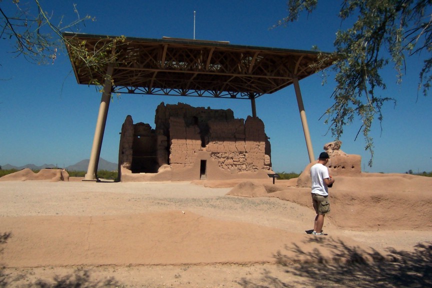
Casa Grande National Monument.


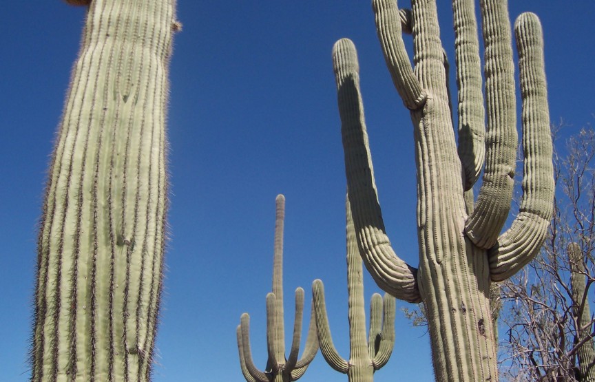
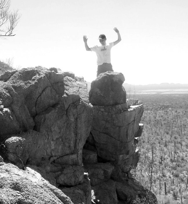
Saguaro National Park, Tucson, AZ.


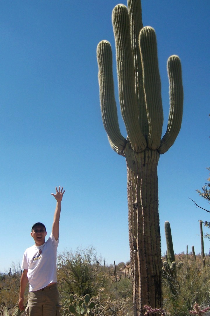
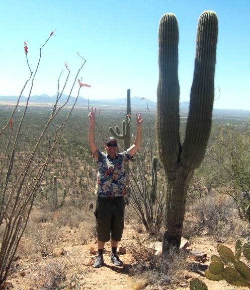
The film at the visitor center pointed out how Native American tradition celebrates the uncanny humanlike character of the saguaros. Saguaro National Park, Tucson, AZ.


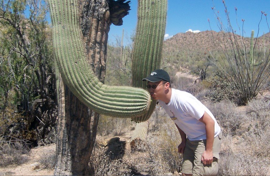
Ouch… a bit prickly just like some people we know. Saguaro National Park, Tucson, AZ.


This one was clearly saying let’s “give peace a chance”. Saguaro National Park, Tucson, AZ.


Saguaro National Park, Tucson, AZ.

Phoenix Apr 2006

70th Wedding Anniversary Celebration

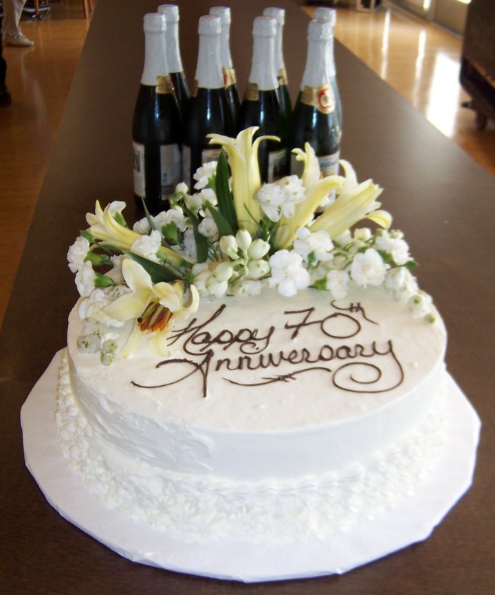
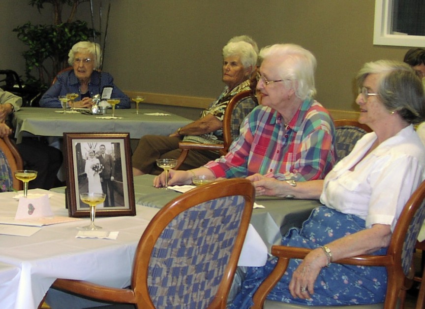
Cake and apple “champagne” ready and waiting for consumption. Friendship Village, Tempe, AZ.


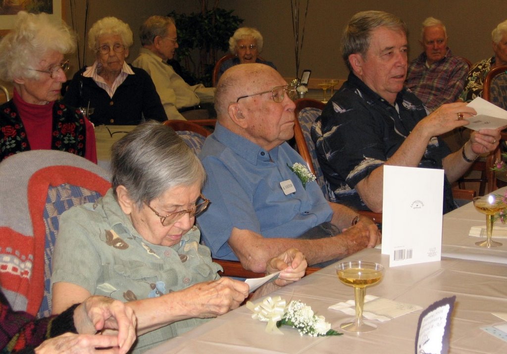
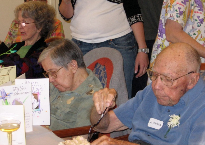
The Grandparents and Dad enjoying the entertainment and greeting cards. Friendship Village, Tempe, AZ.


In a break with family tradition, the layer of frosting was generous. Friendship Village, Tempe, AZ.


Everyone marveled at their beautiful 1936 wedding photo. Friendship Village, Tempe, AZ.


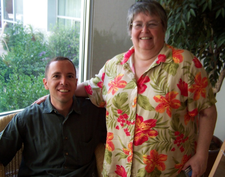
With our favorite Aunt. Friendship Village, Tempe, AZ.


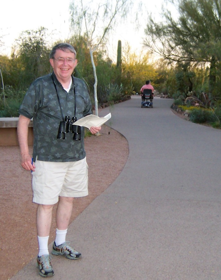
One of the highlights of the weekend was the trip to the Phoenix Botanical Gardens. Dad was our leader: note the bird check off list ready in hand. With a distinct mechanical advantage, Auntie had “sprinted” already ahead.


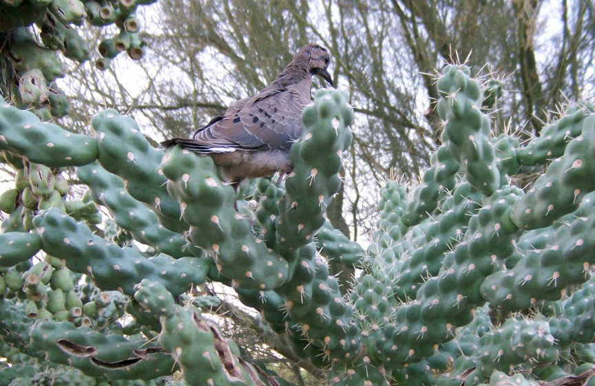
Right after this photo was taken the bird actually swooped down into my hands. Upon closer inspection we saw that she was trying to divert us away from her nest which had several eggs in it. Phoenix Botanical Gardens, AZ.

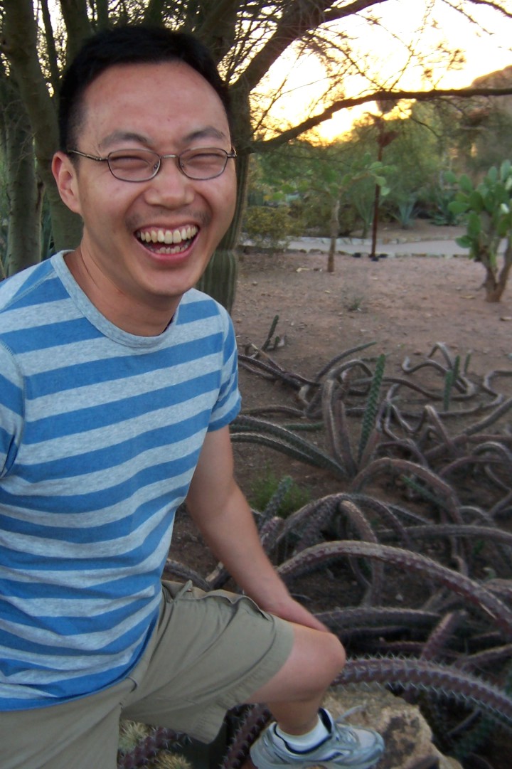
These cactus looked surprisingly like snakes. In fact, they have some kind of internal ability to “twitch” causing the momentary appearance of slithering; or, so it is claimed. Phoenix Botanical Gardens, AZ.


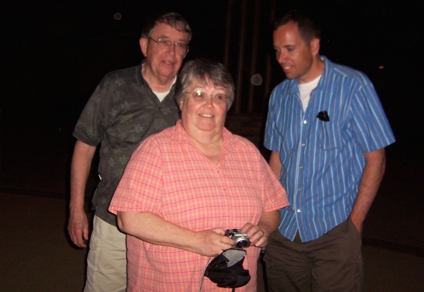
To avoid the heat we went just before sunset and it was after dark by the time we made the rounds. Phoenix Botanical Gardens, AZ.


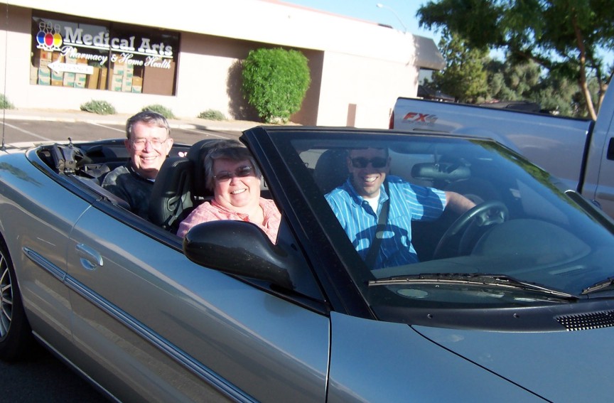
One of the big hits of the weekend was getting this convertible car. At just 16 bucks a day it was a real bargain. Never mind that it got towed way during dinner and also had a nail in the tire!